Interpretive Essay by Lyle Dick
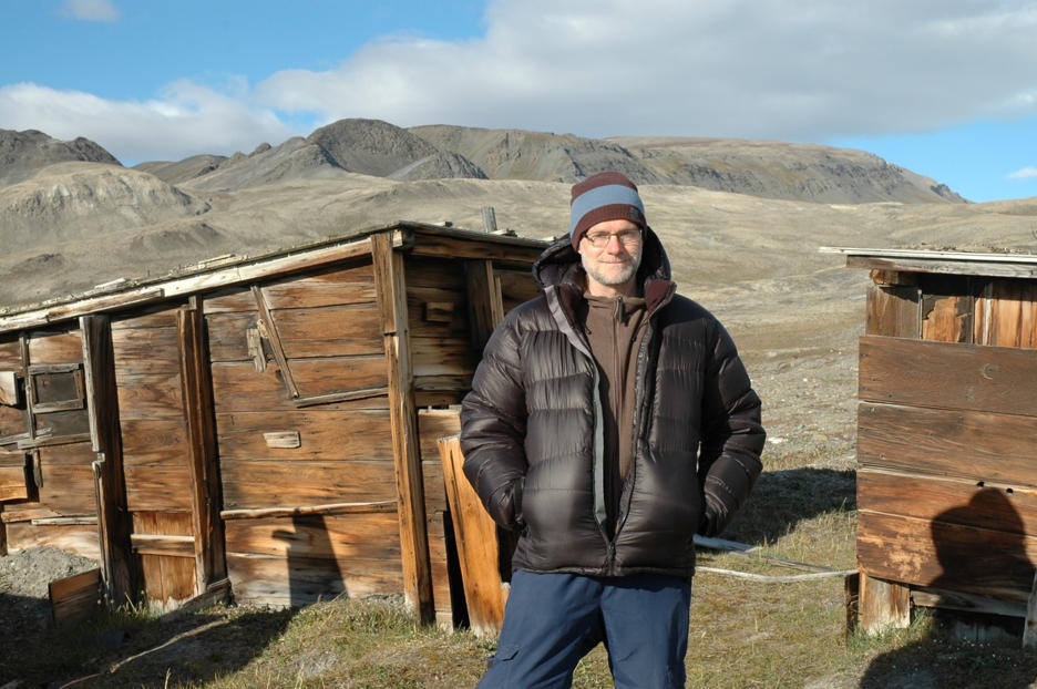
 Lyle Dick at Fort Conger, Ellesmere Island, Nunavut, July 2010 (Photo by Joobah Attagutsiak)
Bio: Lyle Dick is a public historian specializing in Arctic and Canadian history. Following a 35-year career with Parks Canada involving many history-related projects in Western and Northern Canada, including the search for the Franklin ships, he has been the Principal of Lyle Dick History and Heritage since 2012. The author of many refereed works and co-creator of the Franklin Mystery website, he was awarded the Harold Adams Innis Prize for his book Muskox Land, selected Canada’s best English-language book in the social sciences in 2003. He was President of the Canadian Historical Association between 2011 and 2013. In 2014, Brandon University awarded him an honorary Doctor of Laws for “influencing and inspiring students and professors in the fields of Canadian history, history education, environmental studies, and anthropology.”
What do the discoveries of the wrecks, and your own knowledge and research, tell us about what happened to the Franklin Expedition?
In several ways, the discovery of the Franklin wrecks in different areas off the southwestern coast and to the south of King William Island deepens the Franklin Mystery rather than bringing us closer to solving it. The finding of the wrecks in their specific locations on the seabed confirms certain historical evidence, especially Inuit oral history of a ship in Queen Maud Gulf, while simultaneously undermining many standard assumptions of historians and students about the Franklin expedition. These include the questions of how the expeditions proceeded following the besetment of the ships in Victoria Strait, 1846-48; where the expedition’s men went after deserting the vessels in 1848; and their apparent continuing connections to both ships after the desertions.
The two ship discoveries completely overturn the basis for the modern-day archaeological search for a Franklin ship in the so-called Northern Search area, that is, the area of Victoria Strait and Alexandra Strait, where searchers previously believed a wreck would be found. This longstanding expectation traced its origins to Dr. John Rae’s 1854 reports of an encounter with a group of Inuit as he approached the Boothia Peninsula in that year. The Inuit told Rae that several years before they had observed about 40 European men dragging their sleds on the ice along the western shore of King William Island, heading south. Later, they found corpses and graves at the mouth of the Back River on the mainland to the south, which they believed were evidence of the same men who had died in the interval.
Rae’s reported encounter with Inuit near King William Island did far more than help confirm the fate of the Franklin expedition, it set in motion an interpretation of a general north-to-south land retreat by members of the expedition from the vicinity of the besetment in Victoria Strait towards the Arctic mainland. This interpretation remained more or less in place up to the 2016 discovery of Terror in Terror Bay. It was strongly reinforced by the famous note of the Franklin expedition left by Crozier and Fitzjames at Victory Point on the northwest shores of King William Island on 25 April 1848. Having travelled over the ice from the ships then beset in the ice in Victoria Strait, they asserted they would depart the next day toward the south and the Great Fish (Back) River on the Arctic mainland.
In the 20th century, the interpretation of a general land-based retreat towards the south was solidified by the work of Richard Cyriax, who not only extensively elaborated this interpretation in his book Sir John Franklin’s Expedition but mapped out the retreat which he traced from the northwestern shores of King William island to Franklin-related sites on the mainland. The annotation on his large unpublished map at Library and Archives Canada reads: “The approximate line of march of the Franklin expedition towards the Great Fish River.” Thanks to the discovery of the wrecks at their actual resting places, we know that the narrative is much more complicated than that.
What new questions come to mind?
The first new question arising from these discoveries is: why were the Franklin wrecks found their current locations, that is, how did they get there? These discoveries give credence to the interpretation that one or both ships were re-manned after the desertions of April 1848. It has been appropriately recognized that the discovery of the wreck of HMS Erebus in Wilmot and Crampton Bay corroborates Inuit oral evidence collected by Charles Francis Hall in the 1860s and members of the Schwatka expedition in 1879-80 that placed a wreck in that area. Emerging questions include whether this ship was navigated to near its present location, drifted to that place before sinking, or got there via a combination of these possibilities. Answering why HMS Terror ended up in Terror Bay is a more difficult question to answer. Given prevailing ice drift patterns, there is little likelihood that the ship could have drifted to its current location.
The location of the wreck of HMS Terror is near the point marking the shortest land traverse of Graham Gore Peninsula between Victoria Strait to the north and Queen Maud Gulf to the south. It suggests the possibility that Franklin expedition members chose it as an anchorage to facilitate traverses of men and equipment across the peninsula, perhaps in both directions. Two of the largest Franklin camp sites found by researchers are the Boat Encampment site in Erebus Bay on the north side of the peninsula and another large site located near the head of Terror Bay. Both sites included the remains of tents and several skeletons, in addition to numerous artifacts. Given the often congested and dangerous sea ice in the shear zone of Alexandra Strait to the west, traverses by land were probably the most viable route back and forth from Erebus Bay. Perhaps members of the expedition wanted to maintain a connection to the waters of Victoria Strait in hopes of encountering a relief vessel? We don’t know the reason but the wrecks might help find an answer.
Another question is not new, but has been given renewed credibility by the discovery of these ships; that is, the often disputed claim of Lady Franklin and her allies that the Franklin expedition discovered the North West Passage several years before Robert McClure traversed it in the early 1850s, and more than a half century before Roald Amundsen successfully navigated the Passage by ship in the early 1900s. The likelihood that some of Franklin’s men navigated the ships to Queen Maud Gulf will buttress the argument that his team succeeded in reaching waters that had been traversed and mapped as far as the western entrance to the Passage.
What information are you hoping will be revealed by archaeological excavations of the wrecks and more research?
The discoveries of the wrecks present opportunities for us to learn a great deal about many different historical questions pertaining to the Franklin expedition. Specifically, the ships and their contents could bring us closer to understanding various phases of the expedition, including the voyage, the besetment, and especially the further stages following the desertion of the ships in Victoria Strait in April 1848.
One exciting prospect is the possibility of finding ship’s logs or other written or printed documents in the holds of one or both ships. The evidence of Puhtoorak to members of the Schwatka expedition in the 19th century indicates that books were present on board the Erebus when he inspected the ship’s interior in the late 1840s.
Whether or not written records have survived, the well-preserved wrecks, artifacts and surrounding debris fields will offer rare opportunities to generate new knowledge about the Royal Navy in the 19th century, work and daily life of its crews, and the material culture of its different ranks. In particular, these cultural resources will enable the extensive documentation of the British Arctic expeditions through these important case studies. Some of the artifacts were recently displayed in Britain and Canada, a fraction of the results of extensive underwater archaeology carried out on the wrecks over the past three years. The artifacts and evidence will likely be augmented in succeeding years, potentially opening a vast storehouse of data about the Franklin expedition and its many fascinating dimensions.


